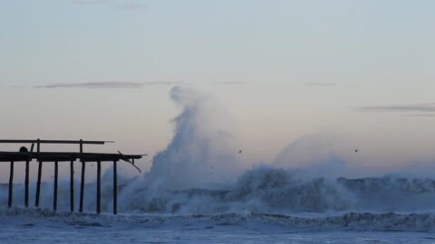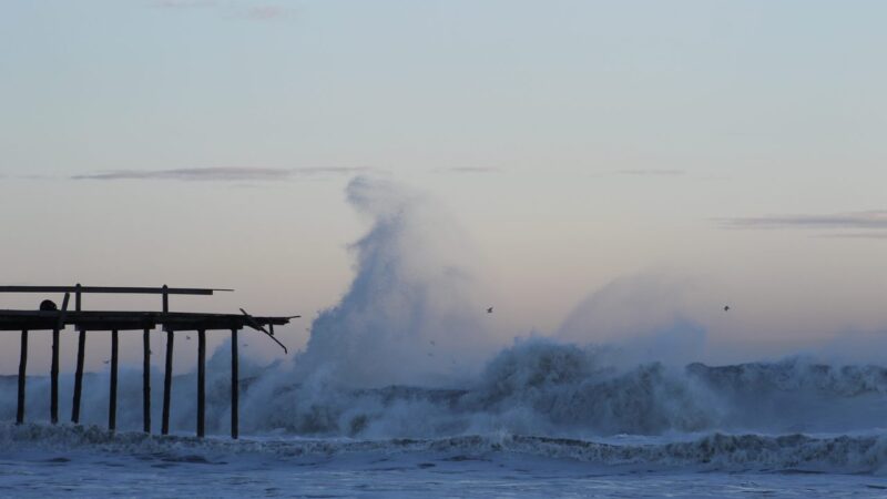

The nor’easter that has battered the East Coast for days cut off Hatteras Island by road on Monday evening, as monster waves washed away about 800 feet of sand dunes at the Pea Island Visitor Center and poured over NC Highway 12, the island’s only road link.
North Carolina’s transport department closed NC 12 from the Marc Basnight Bridge to Rodanthe, according to reports. Ocracoke ferries remain suspended and the visitor evacuation is still in effect. In Rodanthe, the surging ocean pushed straight into neighborhoods as high tide hit.
Could become Josephine
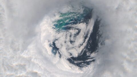
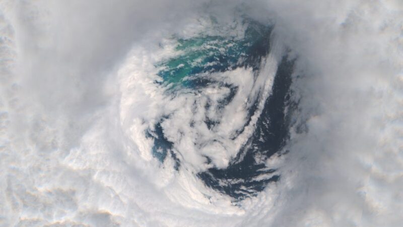
The National Hurricane Center is now tracking the storm as Invest 93L, with a 30 per cent chance of becoming a subtropical storm in the next two days and 40 per cent over the next week, according to reports. If it develops, it takes the next name on the list: Josephine. Regardless of development, high winds, coastal flooding and dangerous surf will continue along the East Coast for days.
The storm’s toll has been severe: at least three deaths have been reported, including a 76-year-old Brooklyn woman killed when high winds tore loose a solar panel, and two people in a Massachusetts plane crash linked to the storm, according to reports. Wind gusts topping 50 mph knocked out power to more than 40,000 customers, and states of emergency were declared in New York and New Jersey.
A long week on the coast
The reach of the storm stretches well south of the Outer Banks, with tidal flooding of one to three feet expected in low-lying areas of Carteret County and offshore swells up to 18 feet causing dangerous rip currents through midweek, according to reports. The system is expected to move offshore Tuesday, finally ending days of relentless rain, flooding and strong winds. Residents and visitors across the coastal region are urged to monitor local forecasts and stay off flooded roads.